River Roeburn
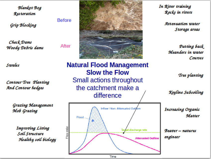
Natural Flood Management
Flooding - Understanding the Natural Water Cycle, Why flooding happens and the Holistic Management of River Catchments - Rod Everett 2016 Download Document
Extremes of weather. An interesting video from Vlado Zaujec from Slovakia explaining why we are experiencing extreme weather. This relates to the work of Michael Kravcick and team on The New Water Paradigm.
You can down load a copy free of this very interesting book.
The science behind these ideas is detailed on www.rain forclimate.com
You can down load a copy free of this very interesting book.
The science behind these ideas is detailed on www.rain forclimate.com
Site Map Home, Site Map and Film
River Roeburn Pre 1967 Location map and aerial photos
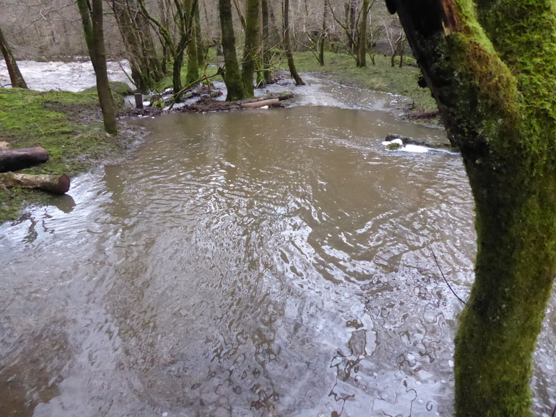
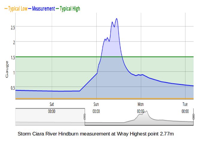
Wray Flood August 1967 Current river levels and rainfall
Backsbottom Farm 1967 Riverside Erosion
Natural Flood Management Events
Useful links Natural Flood Management Walk
Contact
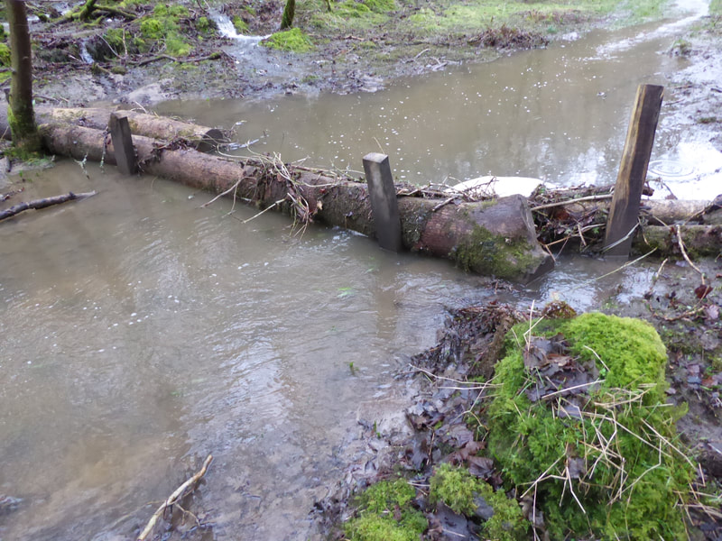
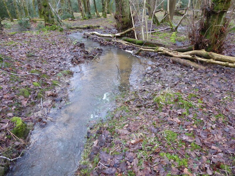
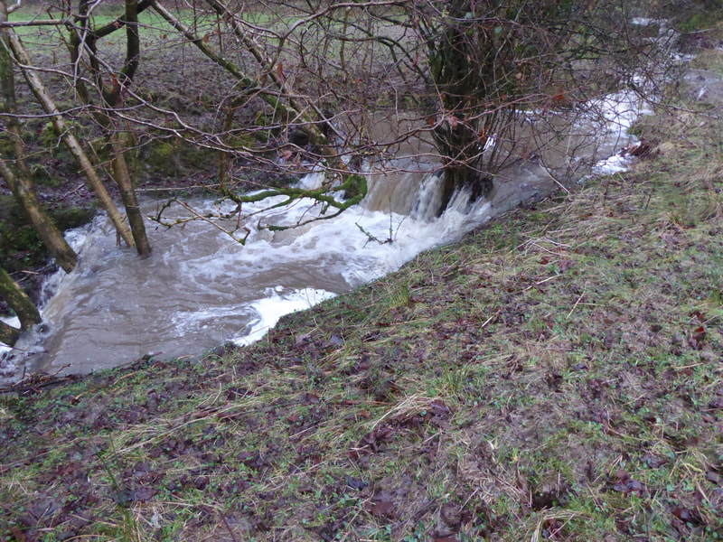
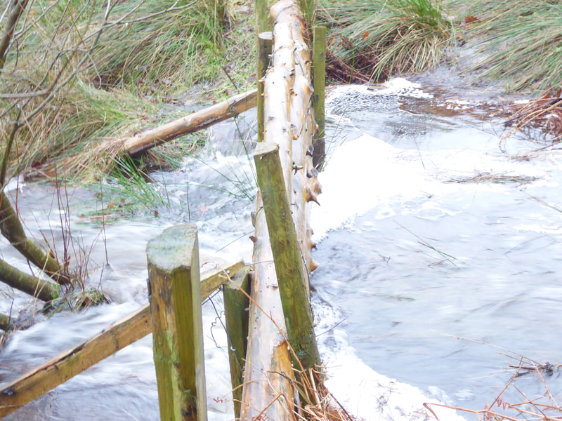
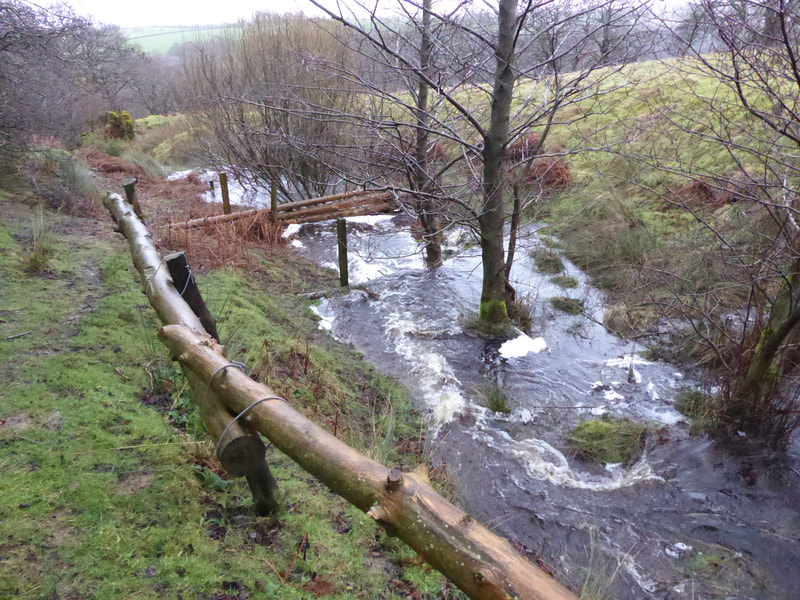
Images of check dams in action at Backsbottom during Storm Ciara 9/2/2020
Blanket Bog Restoration
Blanket bog is a characteristic habitat present in Roeburndale. Small areas are in tact but in general they have been damaged by fire, drainage grips and over stocking. Habitat description. Blanket bog in Forest of Bowland AONB
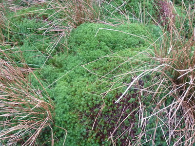
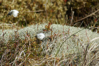
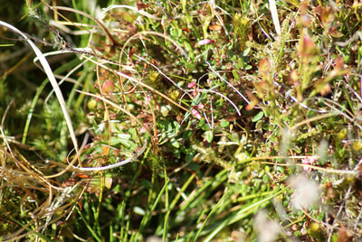
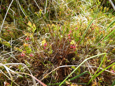
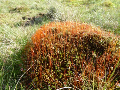
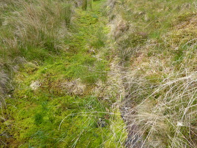
A portion of Whitmoor has been restored to a diverse blanket bog by reducing the grazing pressure over the last 20 years. Tussocks of sphagnum moss with heather, cross leaved heath, bilberry, cranberry and cotton grass have returned to give this area the ability to absorb extremes of rainfall. This helps reduce flooding by the roughness and water holding capacity of the habitat.
Moors for the Future document on blanket bog restoration , blanket bog restoration Land management guidance and decision making toolkit.
Grip-blocking: Cumbria Wildlife Trust's Peatland Restoration in Longsleddale Video
Photos of restored blanket bog on Whitmoor
Natural Flood Management Techniques
Grip Blocking
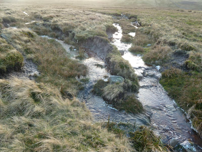
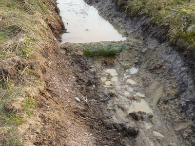
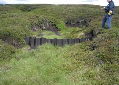
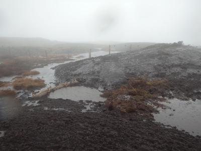
In the 1950's many of the moorland areas in Roeburndale were drained by digging grips as part of the post war effort to increase land productivity. This was continued up to 1980's. This has led to damage of the blanket bog and loss of peat. In some areas these grips have blocked naturally. In other areas these grips are still active and lead to a fast run-off of rain fall contributing to flooding down stream as well as the damaging effect of acidic peat sediment in the watercourse. Grip blocking overview. Lancashire Peat Partnership
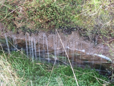
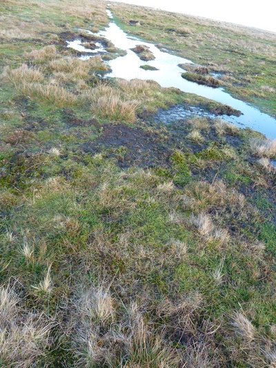
Photos of the fast run-off through drainage grips
Images of grip blocking
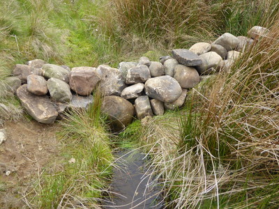
Alder log dam -Whitmoor Alder log with sphagnum growth Stone check dam -Whitmoor
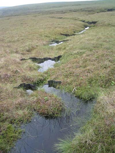
Plastic grip blocking Peak District Series of plastic dams Peat and Wool bunds Forest of Bowland
Alder log dam -Whitmoor Alder log with sphagnum growth Stone check dam -Whitmoor
Plastic grip blocking Peak District Series of plastic dams Peat and Wool bunds Forest of Bowland
Check Dams, Woody Debris
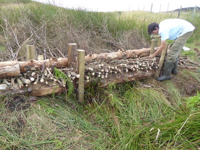
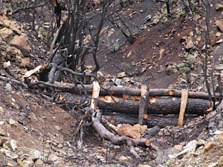
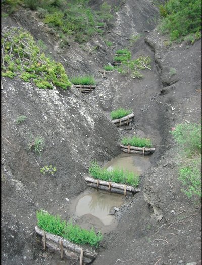
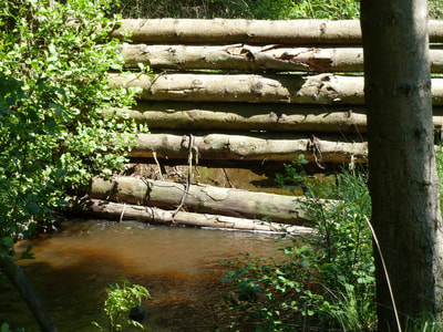
Eroding peat hags, streams, flash flood intermittent streams and small rivers can be slowed with check dams. The town of Pickering in North Yorkshire has been protected from flooding with a series of hundreds of check dams in the higher catchment. Check dams are leaky and allow normal water flow to run without impediment. In extreme storms the check dams hold back the water and spread it onto adjacent land so that it flows slower further down stream.
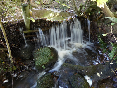
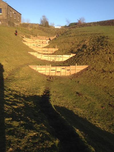
Well made dams are made so that the water flows level above them, then the water flows over the dam into the level water held by a lower dam. This is repeated in a way that the flat water flows slowly and all the faster fall is over the wall of the check dam where it doesn't erode.
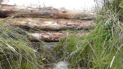
Check dams can be made from rocks, logs, boards, and any material that can withstand a high flow of water without disintegrating. See the excellent work in Slovakia by M. Kravcik- After us the Desert and the Deluge.
Drainage ditches and slowing the flow
Check Dam Images
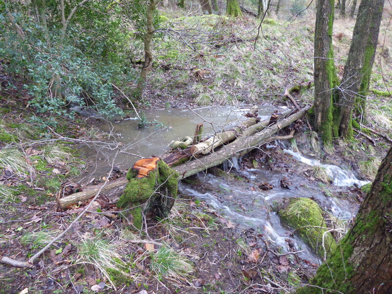
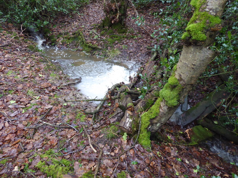
Woody Check dam Backsbottom Log check dam Whitmoor Log check dam Roeburnscar
Check dams Calderdale Woody check dam Greece Check dams Slovakia
3 Check dams above Pickering
Attenuated Water Storage
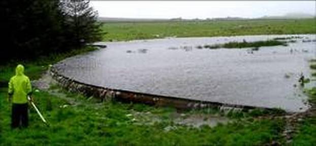
Check dams, swales or off line ditches can divert flood water into an attenuated storage area where excess water is held for length of time. These storage areas leak slowly back into the main water course or into land that will not be damaged by the water flow.
These storage areas are often held with an earth bund or a timber wall with letter box slots. These might be on a traditional flood plane or in suitable depressions in the land. These areas are often based around an existing wetland area. In more urban situations, playing fields, public parks or rain gardens are constructed for a dual use.
Holding back the water in these areas can be very effective at spreading and reducing the peak watercourse level.
Click on image below to see work at Belford in Northumberland.
Swales
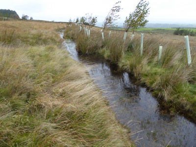
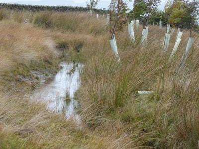
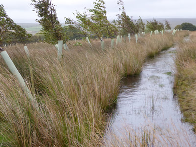
These are ditches that follow the land contour. They capture water as it flows down slopes and spread it over a wider area. The swales we have put in on Whitmoor were designed to capture around 70% of an extreme rainfall event and
Slow, Spread and Sink the water. They take the water away from being concentrated in streams to enable it to percolate into the land over a much wider area.
The trees on the down hill side are birch, alder, rowan, willow, holly and ash. The tree roots help the water to sink into the deeper groundwater. Over the long term this sinking water will contribute to bringing back deep source springs to the valley. The swales are also good for wildlife biodiversity.
Thanks to the Woodland Trust for providing many of the trees and the tree guards.
Contour Tree Planting and Contour Hedges
Planting trees and hedges along the contour helps to slow down flood water by creating roughness in the landscape.. In the Pontbren study in Wales, they found that areas with trees planted absorbed up to 65 x the amount of water compared with grazed grassland.
The trees help cool the land and water towards 4 deg C so it can absorb easier. The roots provide a channel for infiltration.
The leaf fall contributes to higher humus and organic matter in the soil which holds additional water
(On steep clay based soils that are liable to landslide, the trees need to be managed by coppicing or pollarding so that the trees don't get too heavy and cause a landslip.)
Video from Cumbria https://www.agricology.co.uk/resources/creating-new-hedgerows-livestock-shelter-cumbria
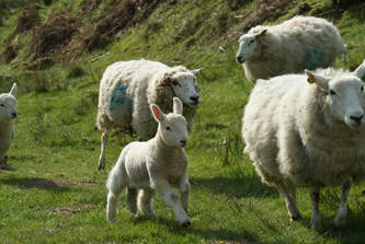
Grazing management and Mob grazing
the mob grazing system in being implemented throughout the world, inspired by Joel Salatin in USA and Alan Savoury in Africa.
The idea is to graze animals tightly for 24 hours, or less and then move them to the next area. The land is then free from grazing for 30 and up to 100 days. This mimics the movement of wild grazing animals where they are kept moving by large predators.
When animals graze vegetation tightly the root systems die back creating passages in the soil for air and water.
The dead roots, animal manure and trampled vegetation breakdown and add fertility in the form of carbon rich
humus. This feeds the new growth of vegetation so that when the grazing animals return they come back to a rich
diverse “salad crop”. This salad crop contains mineral rich herbs and nitrogen fixers such as vetches, birds foot trefoil and clovers. These remove the need for artificial fertilizers and mineral blocks.
The tight grazing prevents selective grazing and encourages greater biodiversity in the pastures.
The mob grazing is usually controlled by electric fencing. -The Village Farm in Devon mob grazes with 1000 head of
mixed hebridean sheep, goats and a few pigs moved every day. They don't make hay or silage.
-Pirntaton Farm in the Scottish Borders uses mob grazing with sheep first followed by cattle.
Mob grazing helps Slow the Flow by improving the soil structure. This allows heavy rain water to be absorbed
where it lands. The roughness caused by the tall vegetation reduces overland water flow. Mob grazing reduces soil compaction that is common in continually grazed pastures.
See Woodland Trust publication on Mob Grazing in the Lake District.
Mob grazing at Cannerhugh Farm
The Scottish Soil Association have run a field lab on tall grass Mob Grazing and have made an excellent film on it.
Improving living soil structure and developing a healthy soil biology
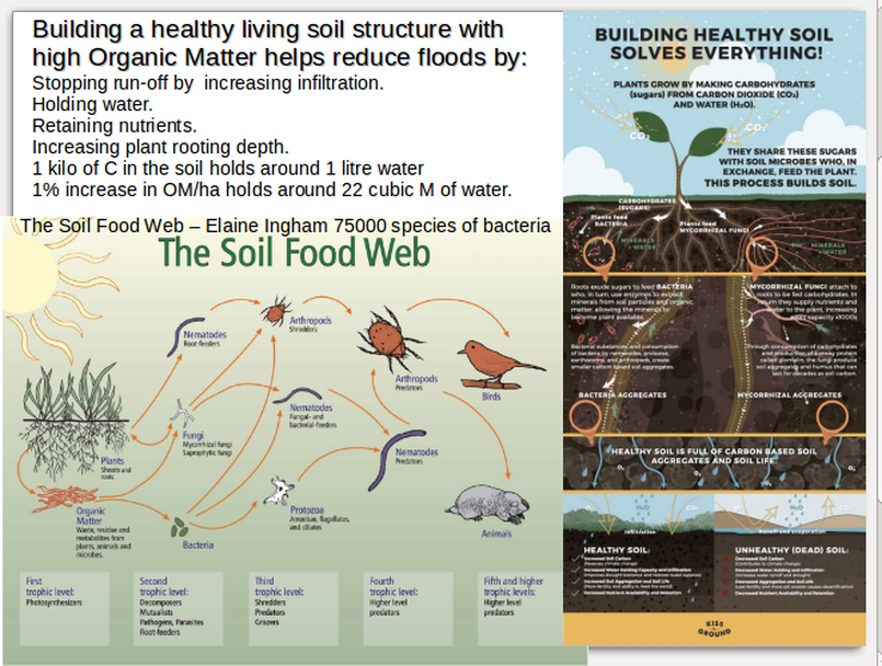
Building a healthy soil rich in organic matter helps hold more water in the soil. It slows run-off by increasing infiltration. A 1% increase in OM per Ha holds 22 Cubic Meter of water.
Inoculating the soil with beneficial bacteria and fungi from well made compost or compost teas helps build soil OM.
Elaine Ingham (Soil Food Web) is having great success in repairing damaged soils by bringing back their biological life. In a healthy soil she expects to find around 75000 species of bacteria.
The book Teaming with Microbes by Jeff Lowenfels and Wayne Lewis is useful to understand the complex interactions important in a healthy soil.
Some more details relating to Roeburndale for improving soil structure.
The fungal network in farmland has usually been damaged by the use of agrochemicals and artificial fertilizers.
A healthy fungal hyphae network helps move water around the land and spreads it over a wider area and even helps it move uphill. These hyphae additionally help to spread nutrients over the land.
The use of the biodynamic preparation BD500 multiplies the effective micro organisms in the soil and helps to build the Organic Matter.
The addition of charcoal provides a massive surface area inside its open matrix structure this provides a safe place for beneficial bacteria to multiply.
See Soil Association 7 ways to save our soils.
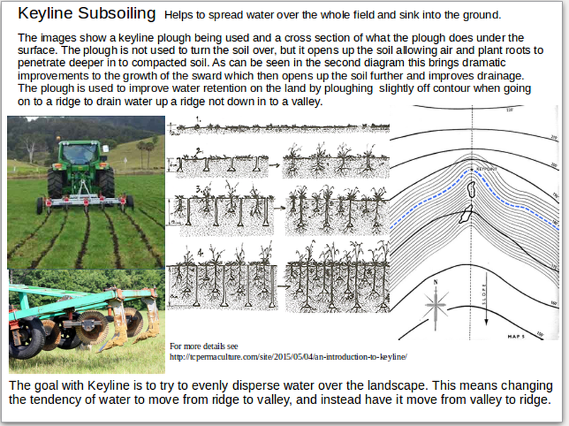
Keyline Sub Soiling.
Key line subsoiling is a technique that helps to Slow Spread and Sink water into the ground to build up the deeper ground water. Keyline sub soiling uses a specially designed sub-soiler to open and aerate the soil. It does this in a way that it will take in water and move it slowly from the gully/valley areas towards the ridge at around 3 deg slope. The addition of microbial teas of bacteria and fungi helps build the soil structure. Water flowing over the land infiltrated into this aerated soil and sinks into the land rather than flowing over the surface.
For a good introduction to Keyline click here.
|
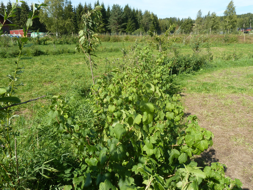
At Ridgedale Farm in Sweden, they have planted an edible hedge with fruit trees and bushes along the keyline slightly off contour. This infiltrates water and holds it in the land. http://www.ridgedalepermaculture.com/keyline-design.html
|
Putting back the meanders in a watercourse
In many areas river and streams have been straightened to get increased agricultural land or building land.
Natural rivers and streams meander and this pattern of movement reduces the speed of flow. There are eddies in many places where the river flows upstream. This is the way the rope like quality of water likes to work. Restricting water in a channel makes it more erosive and it often damages or overflows the channel sides. Changing a water course back to its more natural form helps bring back wildlife.
Bill Zeedyk has been working on encouraging rivers to recreate meanders. See his introduction below
https://salishsearestoration.org/images/6/6f/Zeedyk_2006_induced_meandering_stream_restoration.pdf
He has an excellent book
Let the Water Do the Work: Induced Meandering, an Evolving Method for Restoring Incised Channels.
In Scotland Rottal Burn has been re-engineered to bring back meanders.
In River Training
See Poster Presentation to Royal Hydrological Society
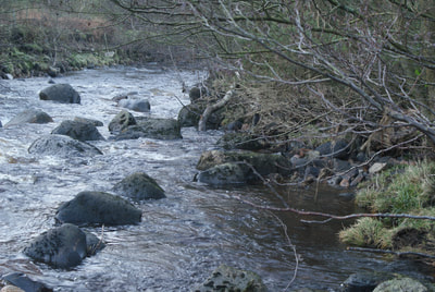
The old ford at Backsbottom was washed away during flood Desmond and the river nearly doubled its width.
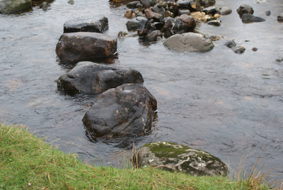
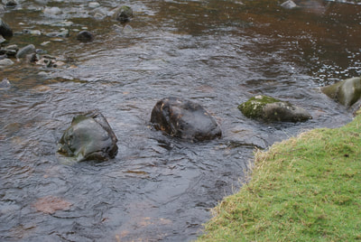
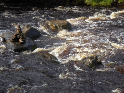
This was caused by some large rocks in the river that came out from the bank and were spaced out going downstream. During the flood this directed a high flow of water directly towards the river bank and eroded it away. In order to restore the ford we received funding through the flood recovery fund to move the rocks in the river so that they came out from the bank and upstream. While they were put in we were very careful to align them so the water was pushed back towards the centre of the river. These rocks were embedded in the river bed and weighed around 1 ton each. During subsequent storms the river has deposited rocks behind these and made the river deeper away from the bank. In one area we put in a horseshoe shaped semi circle of rocks facing up stream. This has pulled the water into its centre and created a deeper channel away from the eroding bank and more towards the other side of the river. This use of rocks for In River Training was stimulated by the work of N. Werdenberg and others http://web.natur.cuni.cz/hydroeco2015/download/presentations/oral/S12/S12_01_Sindelar_Instream%20River%20Training.pdf
Victor Schauberger an Austrian forester/hydrologist (Book The Water Wizard) and the work of Otman Grober a river engineer in Austria who was placing rocks in rivers. Video clip from Comprehend and Copy nature
Small scale experiments were carried out on a stream that formed in a landslide during flood Desmond. This gave me a deeper understanding of the technique. See video.
See video of the rock placement for In River Training
Rocks in the wrong place cause erosion. Over 1million cu metre of soil was washed away in the River Lune by rock groins that came out from the bank and then downstream and by rocks that had been put along the banks to protect the bank. See Report
Photos of the Rocks.
Natural rocks collecting woody Placed rocks 1 Placed rocks 2
debris on bank
Rock Horseshoe Placed Rocks 3 Placed rocks 3 in flood pulling water
out from bank
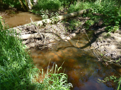
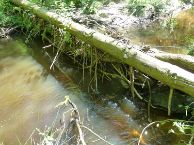
Beaver - Nature's Engineer
The beaver has been introduced into two main areas in UK and has shown its ability to slow the flow and create a diverse wetland habitat. See report on Scottish Beavers.
In the USA beavers are considered an important part of river restoration see
The Beaver Restoration Handbook
and cheap and cheerful restoration.
Beaver image Scottish Wildlife Trust
Education - Natural Flood Management
Practical project for Primary Schools to understand some slow the flow flood management methods.
Practical project for Primary Schools to understand some slow the flow flood management methods.
