Self Guided Walk with Rod Everett
B
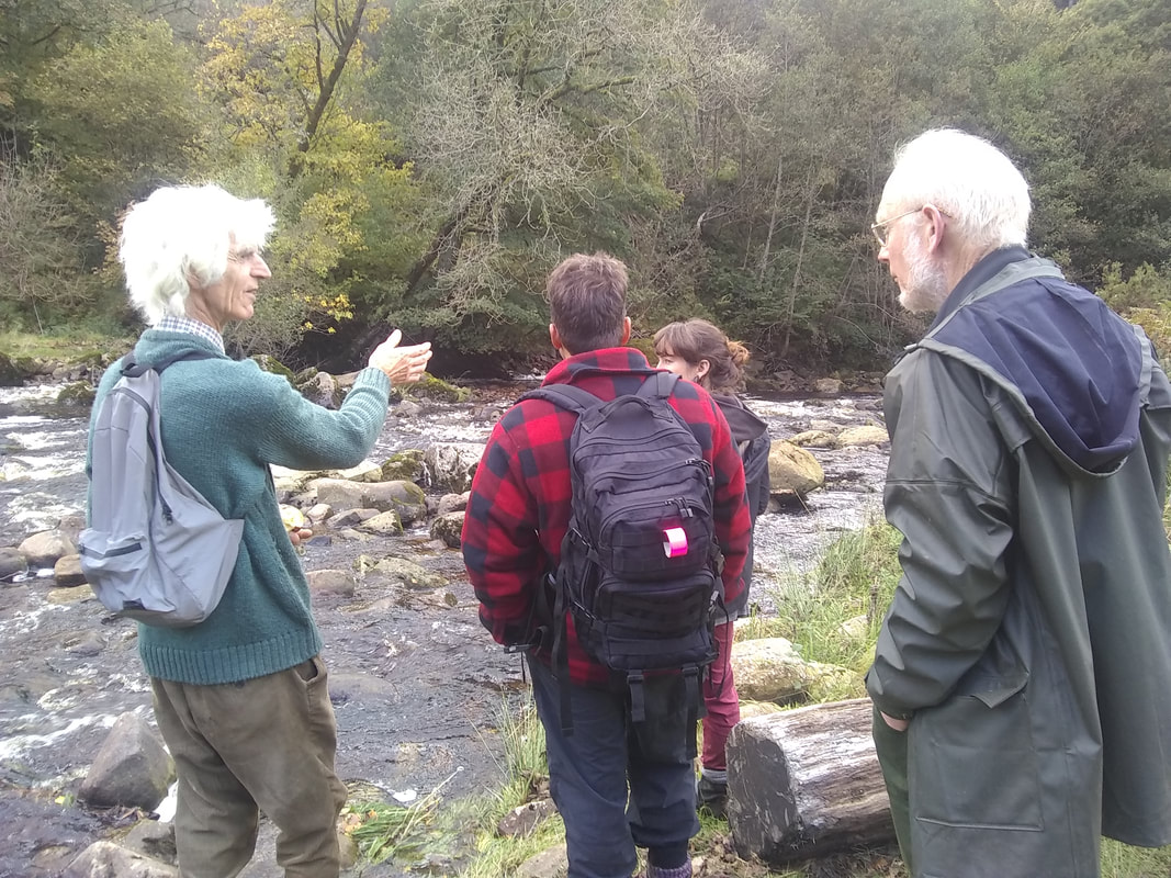
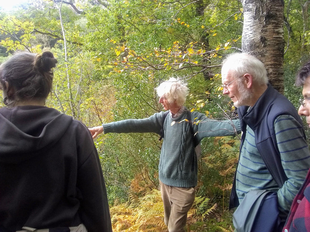
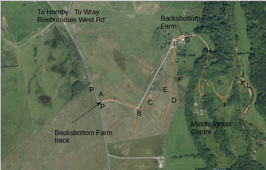
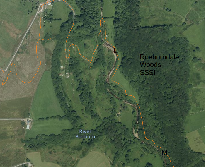
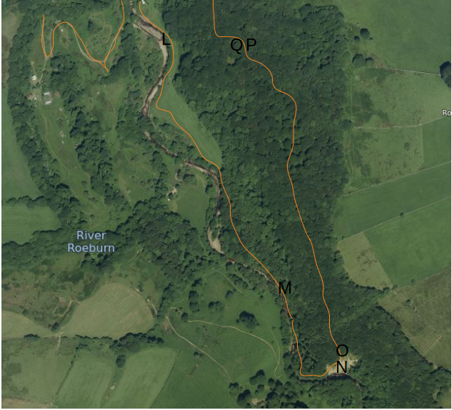
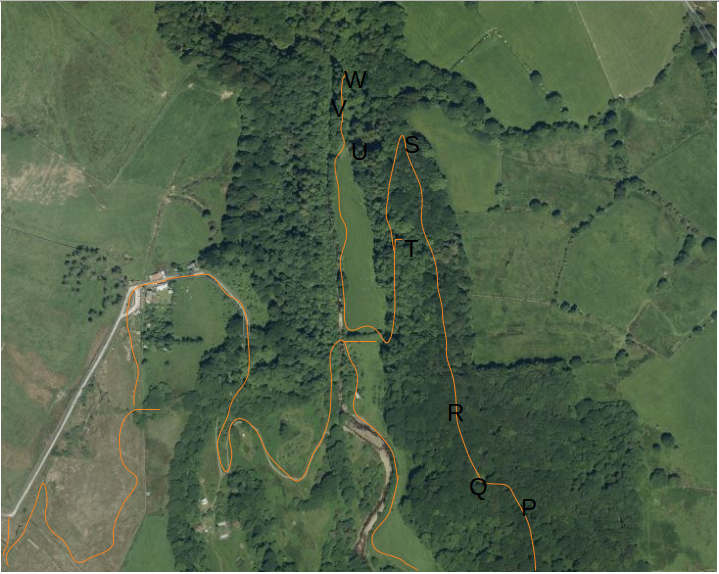
There is a recorded guided walk from the entrance at Backsbottom Farm which explores and explains Natural Flood Management that we have implemented on the farm. It will take around 2 hours to follow all the points and return back to the start and goes up and down fairly steep tracks and through some wet areas. The Farm location is shown below. Hornby is on the B6480 about 9 miles East of Lancaster
There are a number of ways to follow this:
Book a guided tour (min 4 people) with Rod. here This will take around 3hours.
Larger groups welcome when Covid restrictions allow.
Listen and follow the guided walk on your phone on
www.youtube.com/watch?v=FGJPT6FG7t4
tps://www.youtube.com/watch?v=FGJPT6FG7t4FG7t4tube.com/watch?v=FGJPT6FG7t4?v=FGJPT6FG7t4https://youtu.be/Download the map, map2, map3, map4
Please don't use this as a regular public footpath. This pathway is specifically for learning about Natural Flood Management.
Once you have completed the walk all comments are welcome here
B
