River Roeburn
Picture

River Roeburn Location and Aerial Maps

Picture
"Flood Map for Planning"
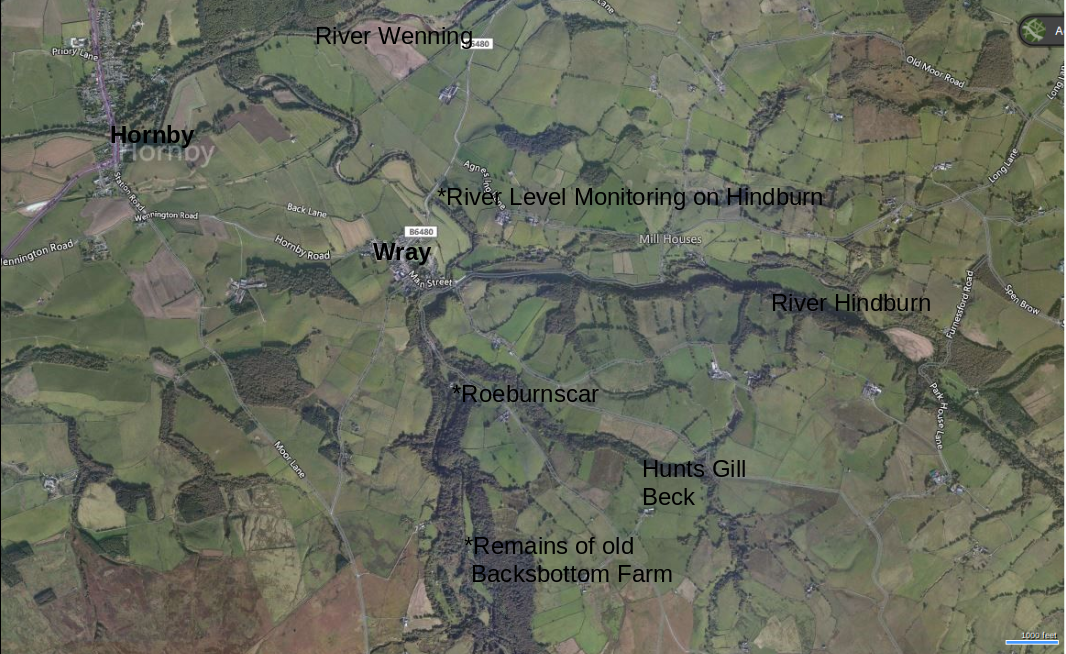
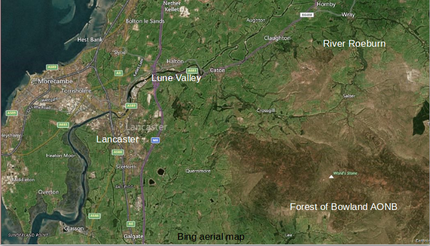
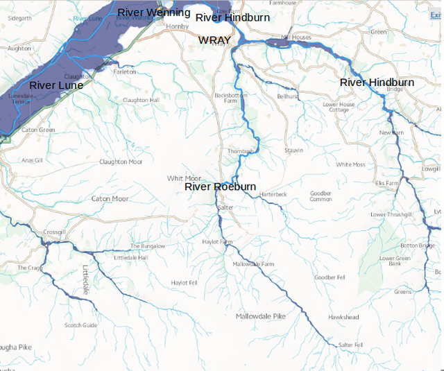
Showing the River Roeburn joining the River Hindburn at Wray, joining the River Wenning above Hornby and then into the River Lune flowing out through Lancaster.


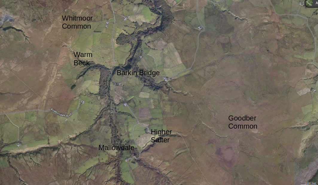
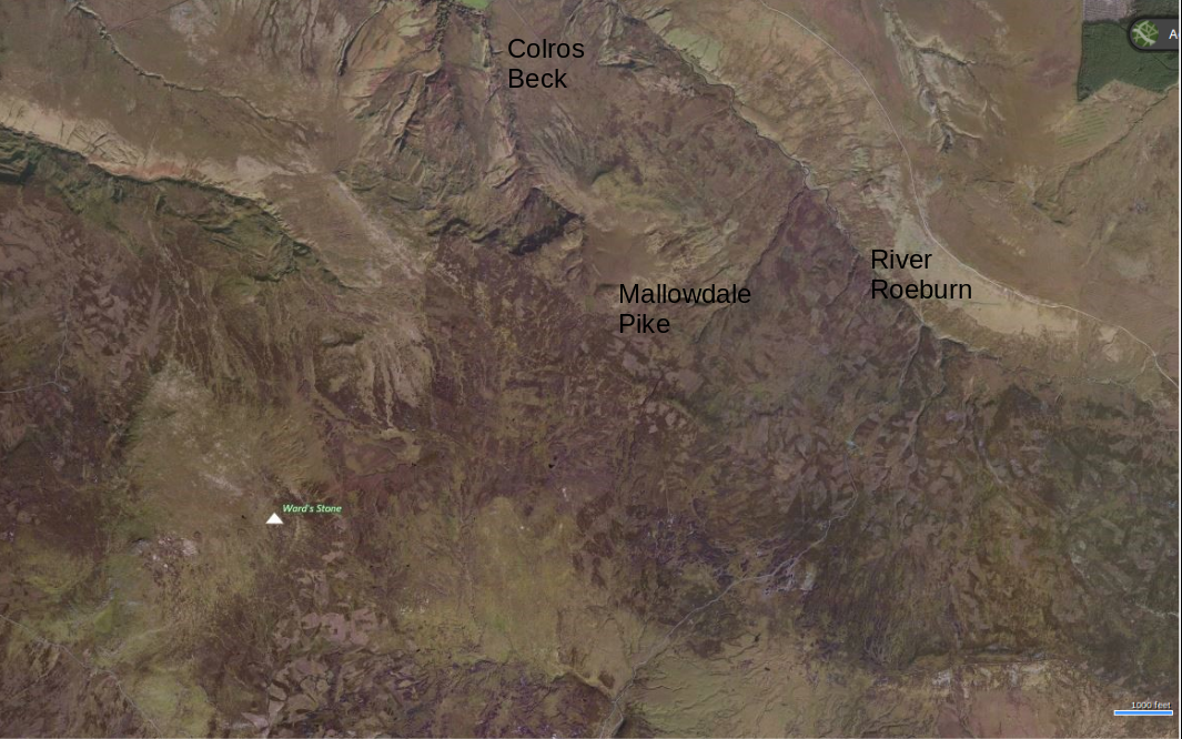
Aerial images of Roeburndale from Bing Maps
Picture
Picture
Picture

Site Map                                     Home, Site Map and Film
                        River Roeburn Pre 1967          Location map and aerial photos
   Wray Flood August 1967                                            Current river levels and rainfall
Backsbottom Farm 1967                                                       Riverside Erosion
           Natural Flood Management                                              
Events
                              Useful links                                           Contact

Powered by Create your own unique website with customizable templates.
  • Home
  • Location and aerial maps
  • Wray Flood 1967
  • River Roeburn Pre 1967
  • Current river levels and rainfall
  • The Riverside Erosion
  • Backsbottom Farm 1967
  • Natural Flood Management
  • Links
  • Events
  • Contact
  • School Education Projects
  • Saving Roeburndale Woods WEG
  • Natural Flood Management Walk